Overview
Teaching: 15 min
Exercises: 15 minQuestions
How can observations be edited once errors are detected?
Objectives
Edit flagged points and save data back out to a table.
Now that you can select and subset the records, let’s see how we can edit the data and save it back out to a CSV file.
Editor
How to make edits to the CSV and save out (back to table)?
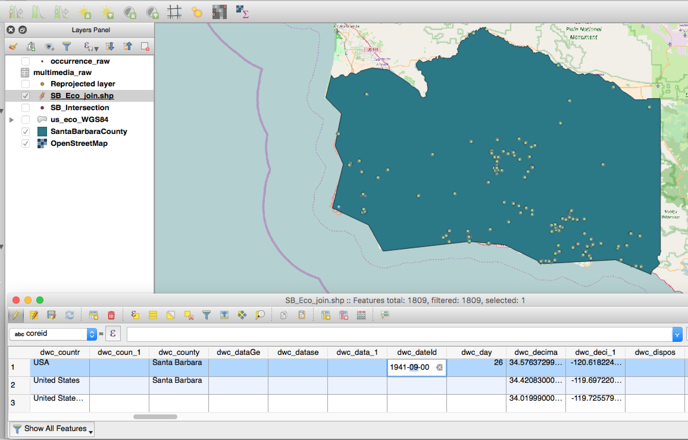
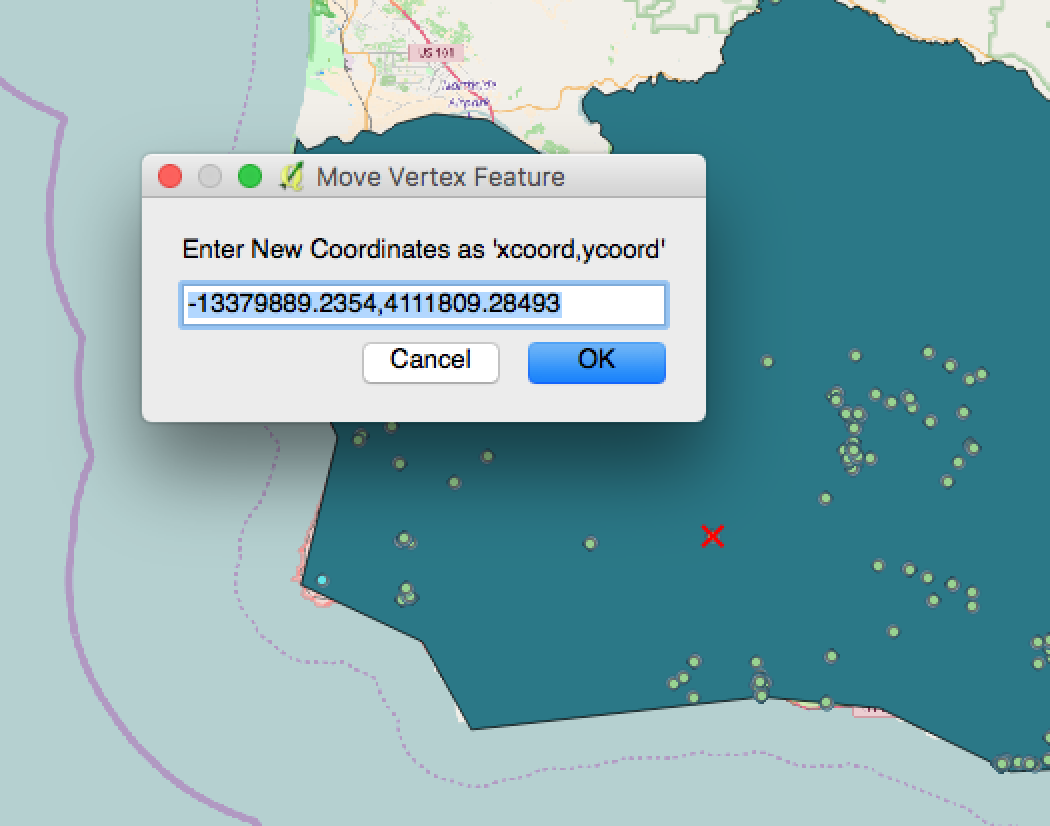
Using the editor tool, select the layer you would like to edit and click on the pencil icon. You have several options once editing is enabled including traditional editing techniques such as “cutting” and “copying”. You can move the location of features, such as points, either by dragging the points interactively to a new location on the map canvas, or within the attribute table. A tool called “Numerical Vertext Edit” will allow you to select a point and enter new coordinates for the point, effectively moving its location. Note: the original coordinate system might still show; change this setting by turning off “Enable on the fly projection” under Project > Properties.


Within the attribute table, you can also select a cell to edit by typing over its contents.

Once finished, turn off editing to save your changes. To save out your table as a CSV, right click the layer and choose “Save As” selecting the format as a CSV.
Additional QGIS resources
Mango Maps videos - A series of videos that explain basic QGIS operations
Stack Overflow for GIS - A helpful community forum for posting GIS questions
Key Points